Global Hi Tech Survey
Chalakudy - Thrissur
Products & Services:
Global Hi Tech Survey, Chalakudy, Thrissur, Reviews, Contact number, Phone number, Address, Map, Sur More..
Since : 2006
Chalakudy - Thrissur
Products & Services:
Global Hi Tech Survey, Chalakudy, Thrissur, Reviews, Contact number, Phone number, Address, Map, Sur More..
Since : 2006
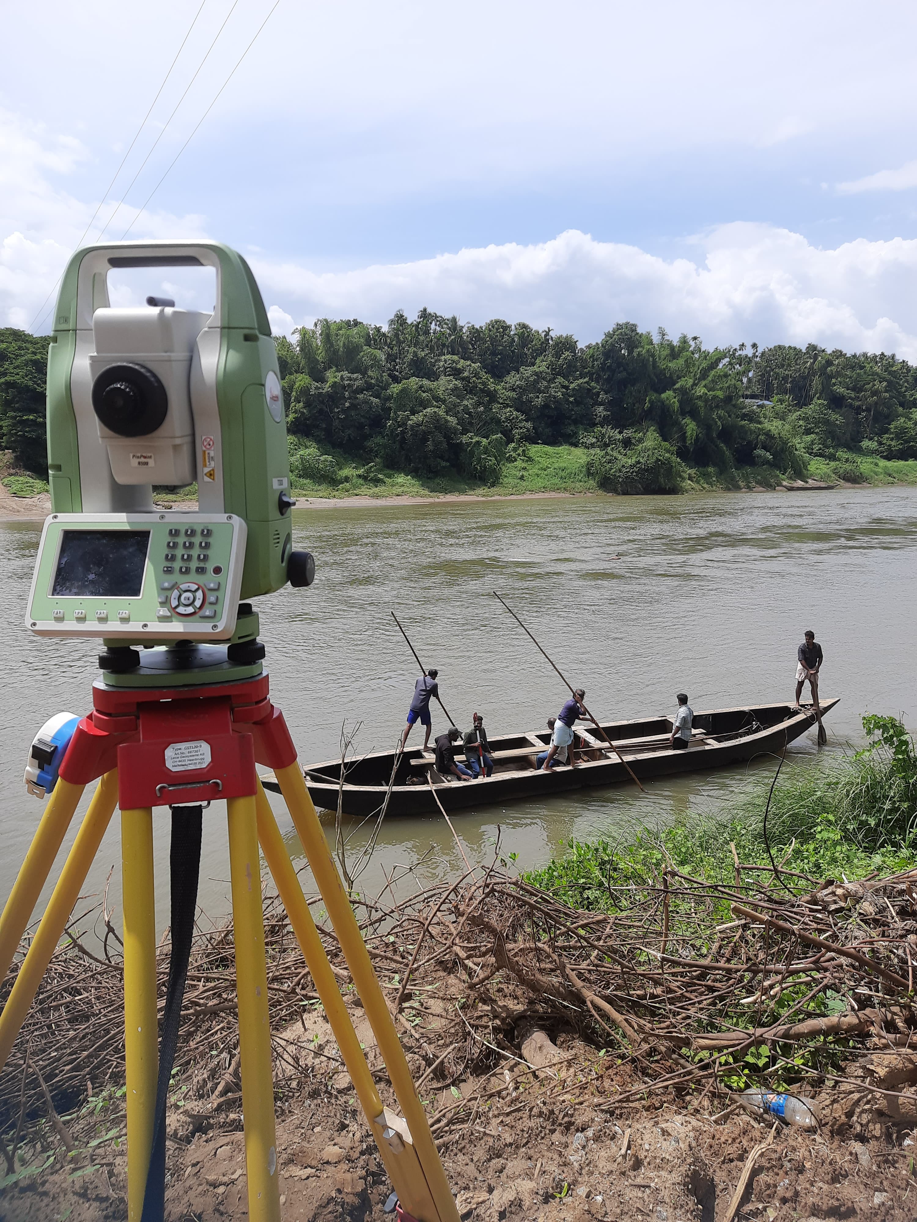
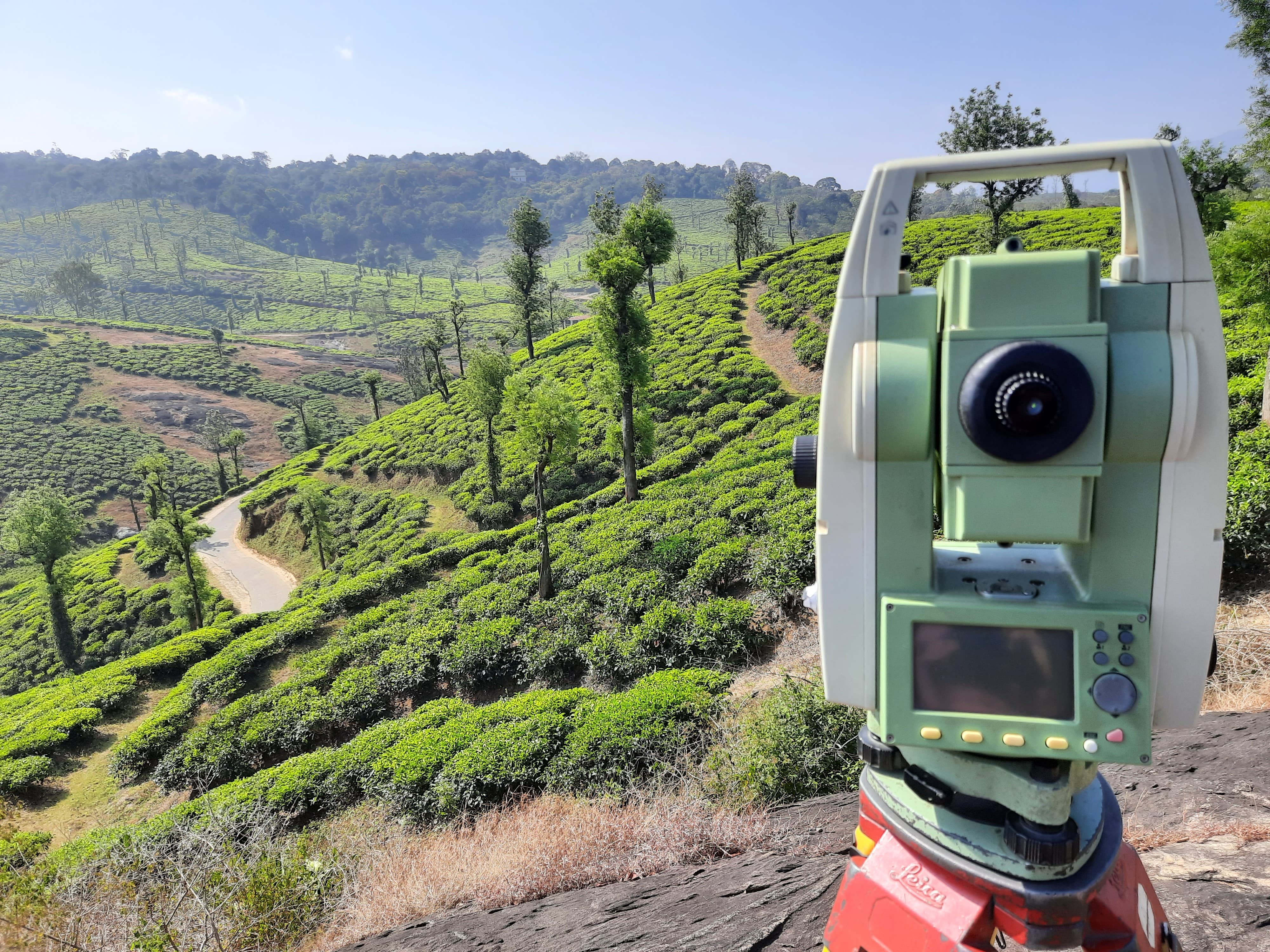
Experience surveying from new heights with our Drone Survey services in Thrissur. Utilizing Unmanned Aerial Vehicles (UAVs), we offer high-precision aerial mapping for diverse applications.
Drone Survey in Thrissur guarantees excellence in aerial mapping. The elevated perspective provided by UAVs enhances the accuracy and detail of geospatial data collected during surveys.
Our surveying in Thrissur incorporates UAV technology for drone surveys. This advanced approach allows for efficient and precise data collection, optimizing the surveying process.
Drone Survey provides a unique advantage by collecting geospatial data from above. This aerial perspective is invaluable for land surveying, construction planning, and environmental assessments.
Our Drone Survey solutions in Thrissur focus on precision. The high-resolution imagery and data collected by drones ensure accurate mapping and insights for informed decision-making.
Drone Surveys offer comprehensive geospatial data. From topographic mapping to monitoring construction sites, the aerial perspective captures intricate details that may be challenging to obtain through traditional methods.
Q1: What is Drone Survey, and how does it work? A: Drone Survey involves using UAVs to capture aerial imagery and data, providing a unique and detailed perspective for land surveying.
Q2: Why choose Drone Survey for surveying projects in Thrissur? A: Drone Survey offers an elevated and precise perspective, enhancing the accuracy and efficiency of data collection for various surveying applications.
Q3: What types of projects can benefit from Drone Surveys in Thrissur? A: Drone Surveys are versatile and beneficial for projects like land development, construction, environmental monitoring, and infrastructure planning.
Q4: How does UAV technology improve the efficiency of surveying in Thrissur? A: UAV technology allows for quick and efficient data collection, covering large areas in less time and providing detailed insights for surveying projects.
Q5: Is Drone Survey suitable for both small and large-scale projects in Thrissur? A: Yes, Drone Survey is adaptable to projects of all scales, offering flexibility and precision for both small and large-scale surveying initiatives.
Q6: What level of detail can be captured with Drone Survey in Thrissur? A: Drone Surveys capture high-resolution imagery, providing detailed and precise information for mapping, monitoring, and analysis.
Q7: How is the privacy of individuals addressed during Drone Surveys? A: Privacy is a priority. Our Drone Surveys are conducted following legal and ethical guidelines, ensuring respect for privacy and confidentiality.
Explore new heights of precision with our Drone Survey services in Thrissur. Contact us today to leverage UAV technology for accurate and comprehensive aerial mapping in your surveying projects.
Thrissur, Chalakudy
Thrissur, Chalakudy
Latest Customer Reviews
"Very good service in drone survey & DGPS"
